


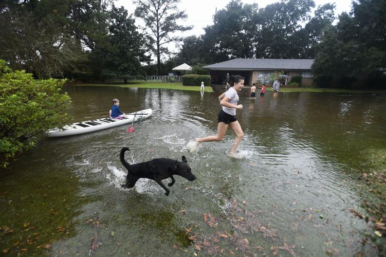
While the in New Orleans was mostly spared from wet weather, cities across southeast Louisiana should brace for storms this week that could lead to localized flash flooding in some areas, local forecasters say.
While Monday will remain dry and sunny, rain is expected to pour in force Tuesday and continue for most of the week in New Orleans, Baton Rouge and Lafayette metro areas, according to the National Weather Service
Jay Grymes, the state's climatologist, said to expect a moderate flash flood threat for much of the state from Tuesday afternoon into Wednesday morning and for heavy rains to continue one-to-two days after in the southern half of Louisiana.
Heavy rain, flash flooding in Baton Rouge, Acadiana
Grymes said he will be watching south Louisiana rivers for sharp rises, especially across Acadiana and into the Florida Parishes.
By Friday morning, rainfall totals will have likely amassed to 3 to 6 inches for most of the area, according to the NWS. There is also about a 10% chance of rain totals exceeding 8 inches along and north of the Interstates 10 and 12.
The threat of flash flooding remains significant for Tuesday afternoon into Tuesday night as several rounds of heavy rainfall impact the area. Locations along and north of I-12 should monitor the forecast closely and be prepared for flooding issues on Tuesday.
— NWS New Orleans (@NWSNewOrleans)
All of southeast Louisiana and southern Mississippi has at least a slight risk of scattered flash flooding Tuesday, including the New Orleans area and the northshore, according to the NWS. The highest risk will be in Baton Rouge and Lafayette, north of the I-10/I-12 corridor, where life-threatening flash-flooding is possible.
Serious, potentially life-threatening flash flooding is possible in those areas. Lafayette also has a high chance of flash flooding, with severe flooding possible, according to the NWS.

Cars drive down a partially flooded St. Mary Blvd. after heaven rains over night causing street flooding through the area on Thursday, April 24, 2025 in Lafayette, La..
Residents in urban and poor drainage areas should prepare for flooding and road closures particularly near low lying areas and underpasses.
New Orleans rain, flooding risk
By Friday morning, New Orleans is likely to see between 3 to 4 inches of rainfall in total and a worse case scenario between 6 to 8 inches while Baton Rouge is likely to get between 4 to 6 inches and as much as 8 to 10 inches of rain.
Northshore communities like Slidell could see between 4 to 6 inches of rainfall.
Here is the forecast through Friday for New Orleans, according to .
- Monday: Sunny, with a high near 81 degrees. In the evening, it will be partly cloudy with a low around 70 degrees.
- Tuesday: Showers are likely and thunderstorms are possible after 10 a.m. It will be mostly cloudy, with a 60% chance of rain, and a high near 81 degrees. In the evening, there is a 50% chance of showers and thunderstorms. Low of 71 degrees.
- Wednesday: There is an 80% chance of showers and possible thunderstorms with a high near 81 degrees. The high chance of showers and storms continues into the evening with a low around 69 degrees.
- Thursday: There is a 90% chance of showers and possibly a thunderstorm with a high near 79 degrees. In the evening, chances of rain lower to 40%. The low will be near 69 degrees.
- Friday: There is a chance of showers in the morning. Showers and a possible thunderstorm are likely after 1 p.m. It will be mostly sunny, with a high near 81 degrees. In the evening, there is a chance of showers and thunderstorms, mainly before 1 a.m., with a low around 65 degrees.